Tree Scanning
Watch this video to see how it is done.

Watch this video to see how it is done.
The TREEO scanning card is a key component in ensuring our accuracy. It is designed for the TREEO App’s image processing to accurately detect and measure a tree’s Diameter at Breast Height (DBH).
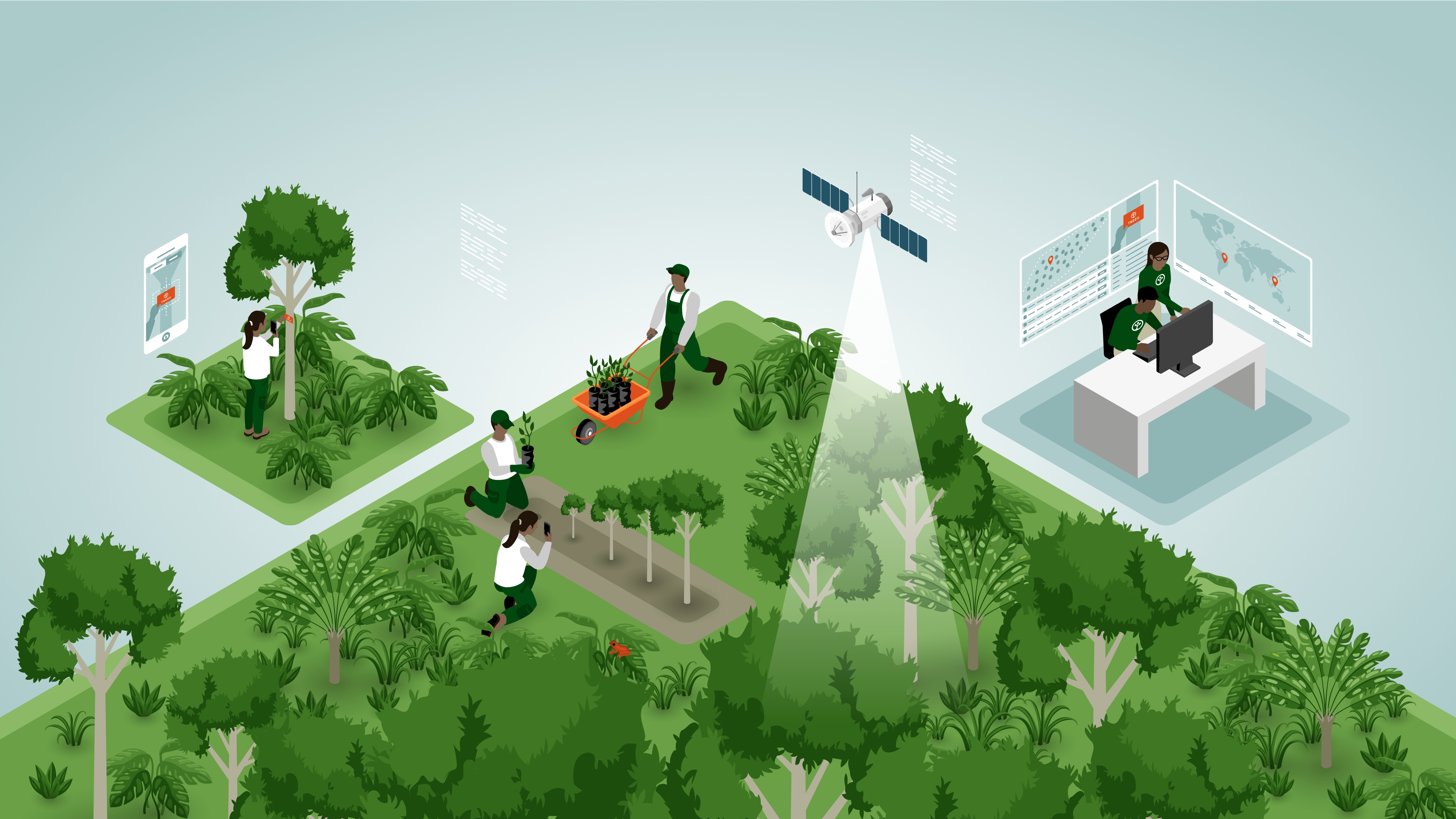
Gone are the days of manual calculations. Our app lets you scan a tree and know, by species and climate zone, the exact CO2 stored by that tree at that specific point of its life - in a matter of seconds! Behind the TREEO App are peer-reviewed allometric formulas which are climate-zone- and tree-species-specific. By selecting the tree species in the App, the measurement is assigned to the corresponding allometric formula. The corresponding formula calculates the tree biomass, which is then converted into CO2 within the app. Thus, our users get the CO2 calculation in a matter of milliseconds! With each measurement, the geo-location is saved to confirm that the tree is in the eligible planting area.
Our App transforms any standard Android smartphone into a powerful tree-monitoring tool. Our approach accounts for every single tree and directly involves the tree growers, who, in return, receive fair compensation for their work. They monitor the trees annually using the TREEO App. The TREEO App is a certified dMRV tool for field teams and farmers that provides land mapping and tree monitoring functionalities. Our App is a certified dMRV tool for field teams and farmers that provides land mapping and tree monitoring functionality, access to farmers’ data, and training materials. It collects:
Reforestation is not a one-time effort - it requires continuous monitoring to evaluate the survival rate of the planting efforts. At TREEO we do yearly monitoring and we re-plant trees as needed to replace those who did not survive.
After the trees have been planted and while they are still small (less than 1.3-meter height or DBH less than 3 cm) we collect “Little Tree Evidence” via the TREEO App. This is done by taking photographic evidence and keeping track of the survival rates of the tree seedlings and tree health to determine how many trees we should re-plant.
Our agroforestry and conservation projects play an important role in soil health, air quality, water infiltration and quality, and contribute to local food security. As per our methodology, our planting projects are never monocultures, and even in our production forests, clear-cutting is not allowed. TREEO follows a standard that rates biodiversity from “one to three butterflies”, which also helps guide our project design to have a positive impact on biodiversity.
Our business model and science-based methodology also support other Sustainable Development Goals. Directly and indirectly, we re-build biodiversity corridors, strengthen ecosystem services, support local livelihoods, and contribute to local food security, among others.
At TREEO we use satellite imagery for several verification steps: from preliminary assessments for land eligibility and zone mapping, to the validation of data captured via the TREEO App.
All the data collected on-the-ground goes to the TREEO Cloud. The TREEO Cloud is our project management system which allows our tree-planting partners, foresters, SaaS customers, and TREEO’s data team to plan, review, and organize field operations.
Via our Impact Dashboard, our customers get their annual data and relevant information for their ESG reporting in a modern online format.